
Integrating Real-Time Satellite Data
AI Improves Wildfire Spread Forecasts
University at Buffalo researchers use deep learning and satellite data to predict fire paths more accurately.
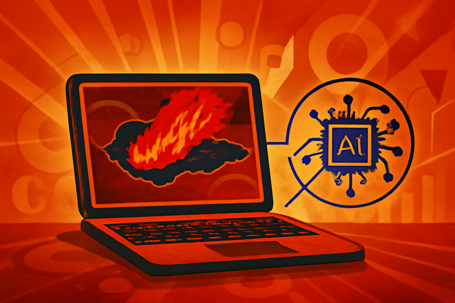
A digital map overlay showing a forest fire with orange heat zones and blue geometric lines representing AI-driven wind and spread predictions.
Photo: Kronos Digital News
Researchers at the University at Buffalo have finished an extensive evaluation of deep learning models for forecasting wildfire spread [1]. The study focused on the 2023 Maui fires as a primary case study to determine how artificial intelligence handles complex environmental variables [1]. The findings suggest that AI models effectively complement traditional physics-based systems by processing real-time satellite imagery [1]. This hybrid approach allows for more accurate predictions of fire paths as conditions change [1]. Improving these forecasts is critical for emergency management and public safety during extreme weather events [1].
Editorial notes
Transparency note
Drafted with LLM; human-edited
- AI assisted
- Yes
- Human review
- Yes
- Last updated
Risk assessment
The risk level is set to high because the story relies on a single source from the reporting institution, failing the internal requirement for at least three independent domains.
Sources
Related stories
View all


Topics
About the author
Kronos Digital News Desk covers integrating real-time satellite data and editorial analysis for Kronos Digital News.